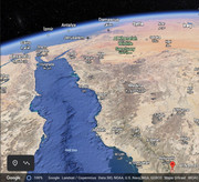
EEDI 2021 http://birdmap.5dvision.ee/EN/2021/spri ... =0&speed=1
who know were he is these days
the weather isn't favourable this year (Lebanon, Turkey), so I am not sure if Eedi is already in Turkey - we will see, finger crossed
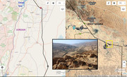
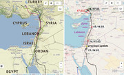
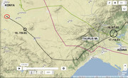
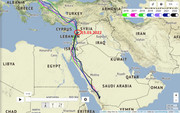
Eedi previous year on March 15 flew over Lebanon to Syria and on March 16 he crossed the Gulf of İskenderun or Alexandretta (reached Turkey)
2021 (!)
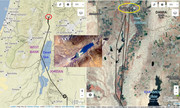
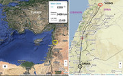
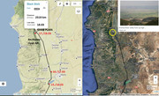
next update on March 17 - plus 778 km (previous update March 15 - see the pic)
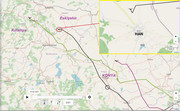
- Distance: 2669 km, Last data: 17.03.2021
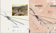
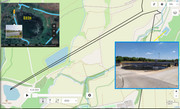
- within Hacılı and Beydemir village, in the District of Karaisalı, Adana Province, TURKEY

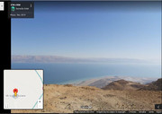
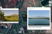
DAY 1 (14.03.) Israel and his night area south from Tirat Zvi, a religious kibbutz in the Beit She'an Valley, jurisdiction of Valley of Springs Regional Council, Northern District, Israel (hills near the Jordan river/Israel-Jordan border - JORDAN)
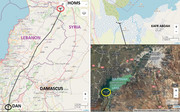
DAY 2 (15.03.) above Lebanon and night resting already in SYRIA, east from Al-Qashati, a Syrian village located in Tell Salhab Subdistrict in Al-Suqaylabiyah District, Hama Governorate (forest area on the hills)
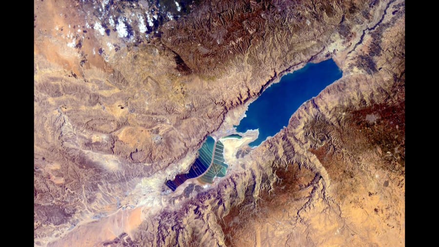
DAY 3 (16.03.) Eedi flew to TURKEY - over the Nur Mountains and then continued near the east coast of the Gulf of Iskenderun


