October 10
Hello everyone

Birdmap update for
KARL II https://birdmap.5dvision.ee/EN/2022/aut ... =0&speed=1
Previous data:
(viewtopic.php?p=10364#p10364 and next)
- 08.10.2022, Distance: 3881 km (
+ 219 km)
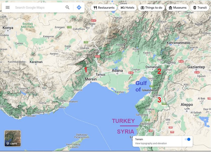
- TURKEY: Kayaönü – a village in Ayrancı District of Karaman Province
NEW data:
- 09.10.2022, Distance: 4163 km (
+ 282 km)
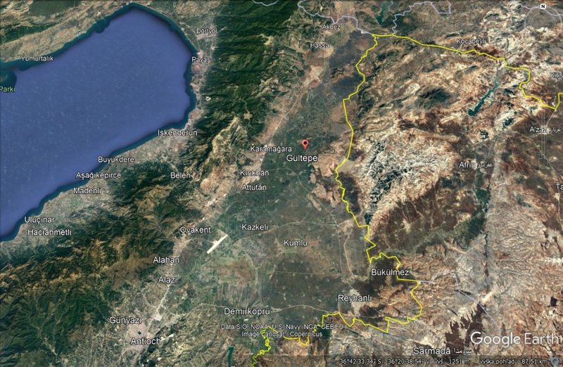
- TURKEY: Gültepe – village in Kırıkhan District of Hatay Province
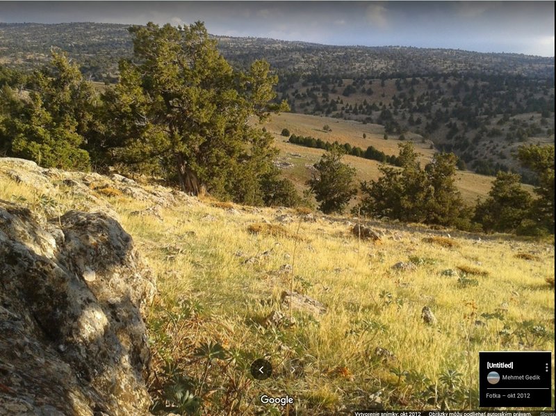
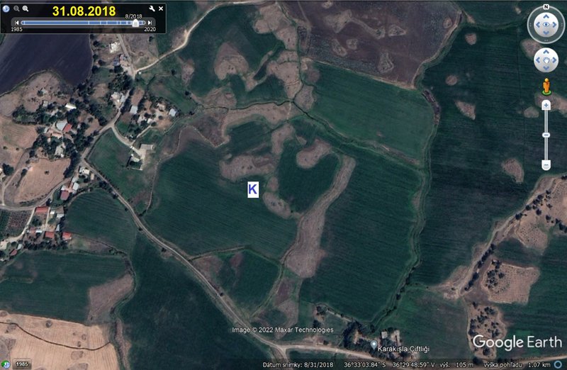
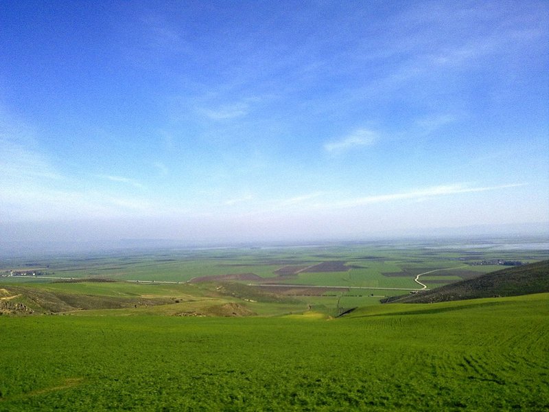
Karl II crossed the Taurus Mt. Continued paralell parallel to the Gulf of İskenderun, flew over the Nur Mt. and arrived to the Amik Valley. Karl's newest location is to the east from the village – it seems to me like some kind of marshland area.
more Adriána


