previous data: Sept 26 viewtopic.php?f=89&t=137&p=24858#p24858
next data:
September 27 data
Hello everyone

Birdmap update for
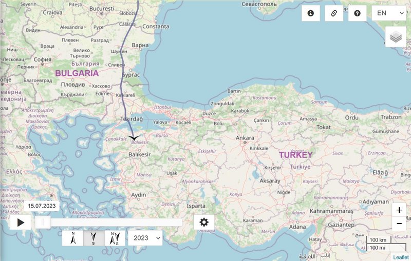
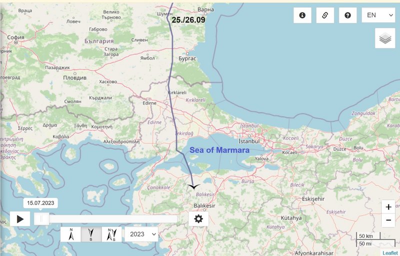
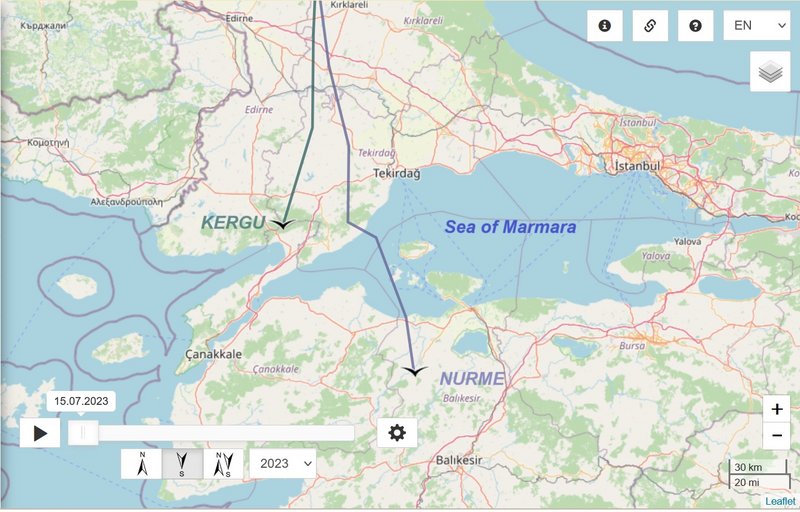
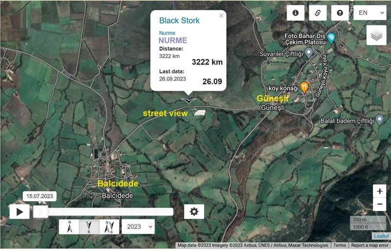
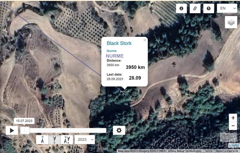
NURME https://birdmap.5dvision.ee/EN/2023/aut ... =0&speed=1
Previous data:
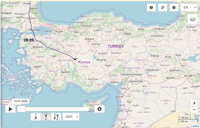
- 26.09.2023, Distance: 3222 km (+ 359 km)
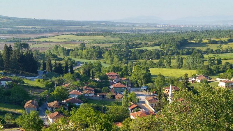
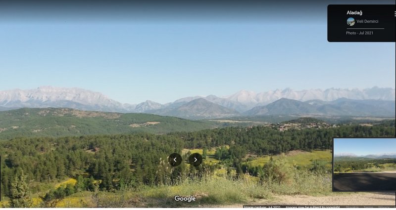
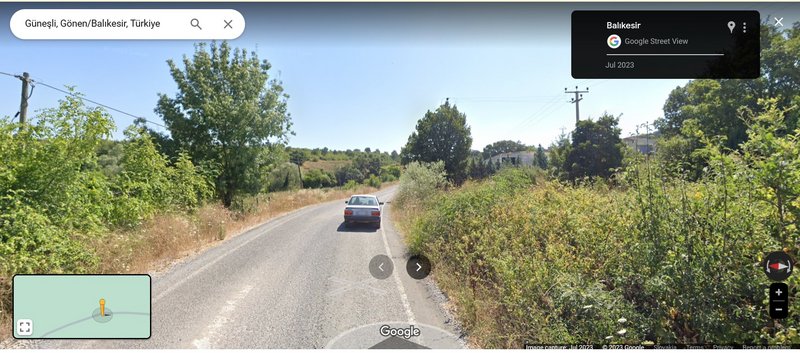
- TURKEY: between Balcıdede and Güneşli - little villages in the municipality and district of Gönen, Balıkesir Province
NEW data:
travelling
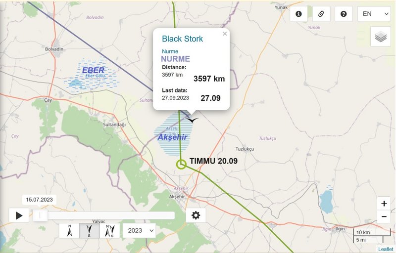
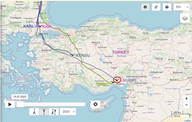
- 27.09.2023, Distance: 3597 km (+ 375 km)
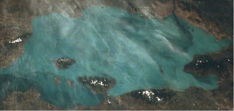
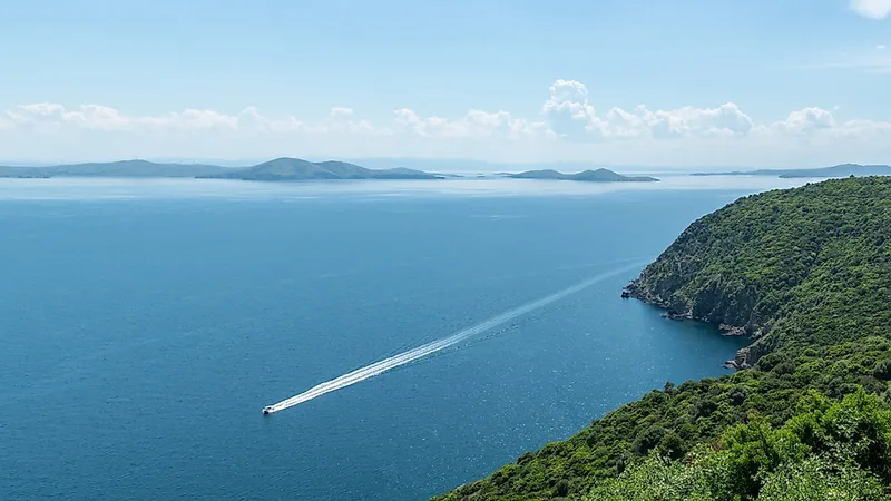
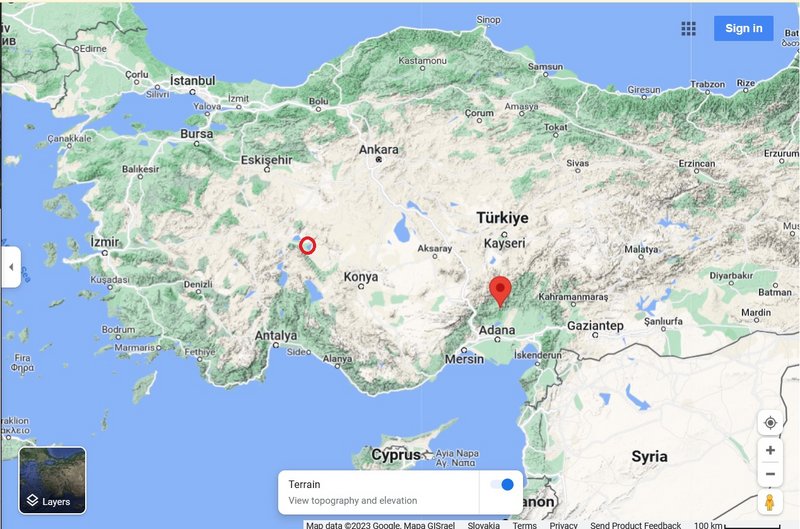
- TURKEY: Lake Akşehir (Akşehir Gölü) - lake in Akşehir district of Afyonkarahisar province
Lake Akşehir is a tectonic freshwater endorheic lake in Afyonkarahisar and Konya provinces, in the southwestern part of Turkey. It carries the same name as the town of Akşehir south of the lake.
photos of the lake and information (drought) here
viewtopic.php?p=24699#p24699 and next post (Timmu)

