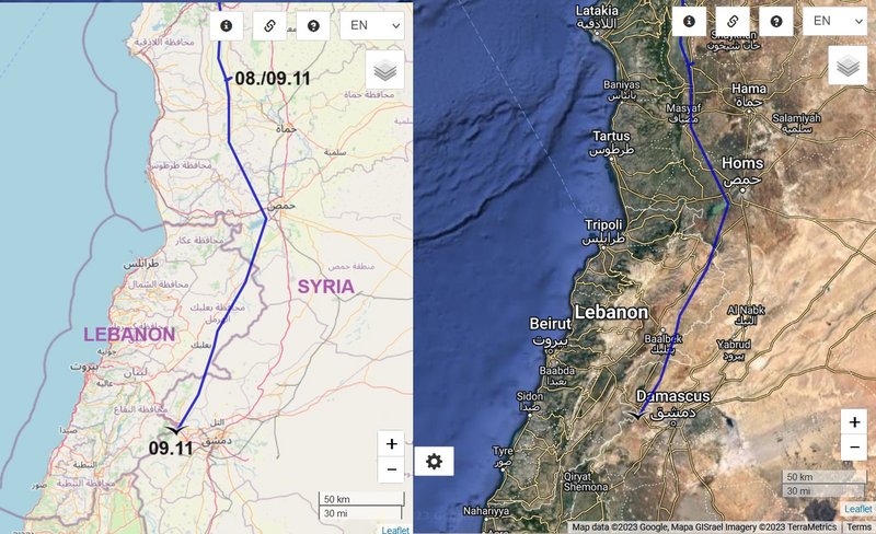
previous data: Nov 09 viewtopic.php?f=89&t=151&p=25493#p25493
next data: Nov 12 viewtopic.php?p=25516#p25516
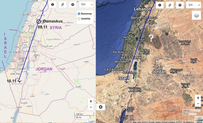
November 10 data
Hello everyone

Birdmap update for
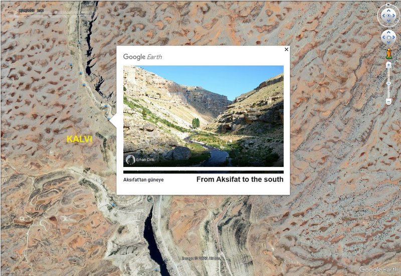
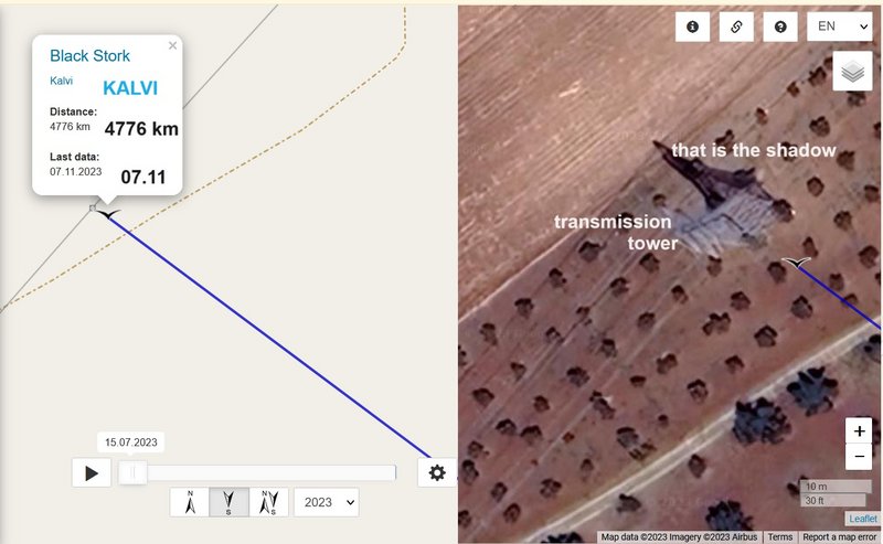
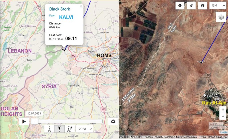
KALVI https://birdmap.5dvision.ee/EN/2023/aut ... =0&speed=1

Previous data:
- 09.11.2023, Distance: 6412 km
! fake line to Ankara Airport)
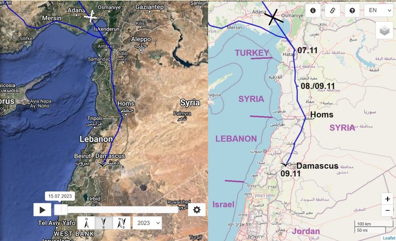
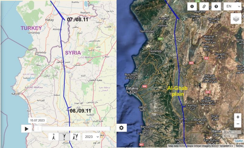
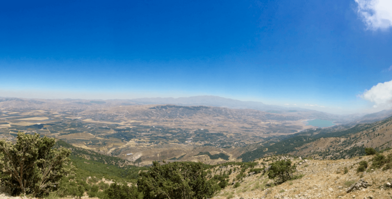
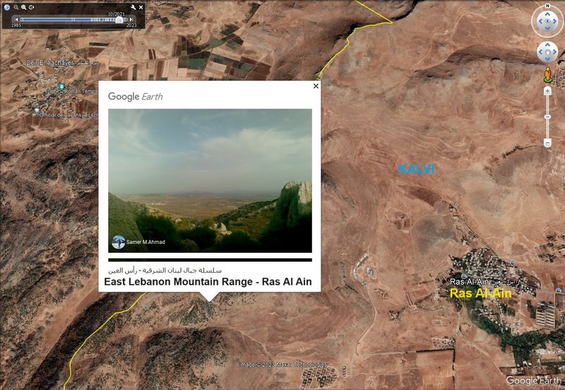
- SYRIA: Ras al-Ayn - a village in the Qatana District of the Rif Dimashq Governorate
NEW data:
travelling
- 10.11.2023, Distance: 6468 km (Kalvi flew longer path, more than 300 km)
- ISRAEL: Ein Hatzeva - a moshav , Southern District (it falls under the jurisdiction of Tamar Regional Council)
(to the west of the "village", south-west of the Dead Sea, in the central Arava valley:
https://en.wikipedia.org/wiki/Arabah)
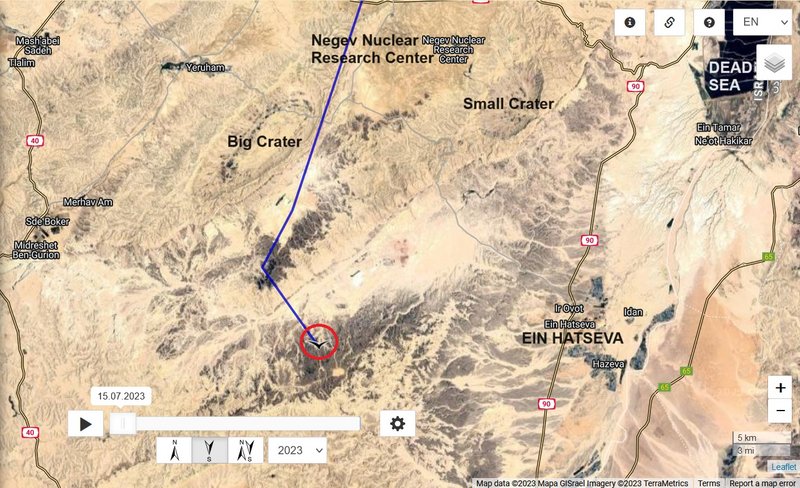
on the map is one long line, only in the end area are more data - Negev desert area
the Big Crater -
https://en.wikipedia.org/wiki/HaMakhtesh_HaGadol (also photo)
google search (hamakhtesh hagadol) offers more very nice photos of this area

