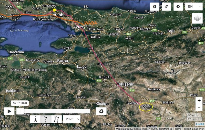
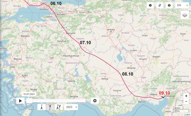
DAY 1 - 08.09.2023
from
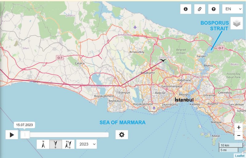
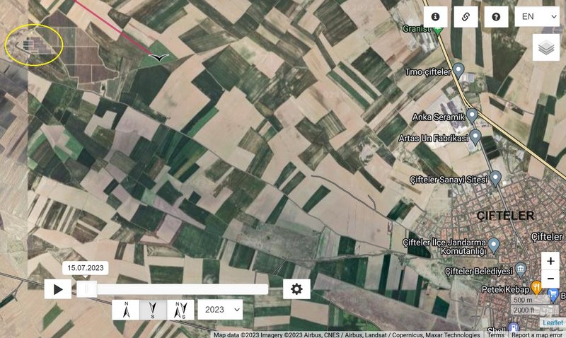
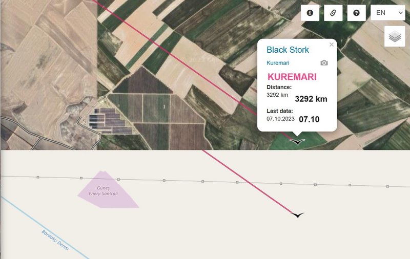
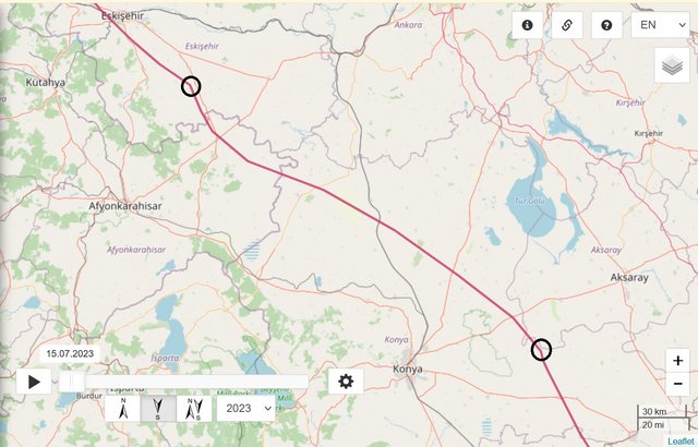
TURKEY: Çifteler - a municipality and district of Eskişehir Province
to
TURKEY: Reşadiye - a village in the Karapınar district of Konya province
localisation is between the villages Reşadiye to the north and Çıralı to the south
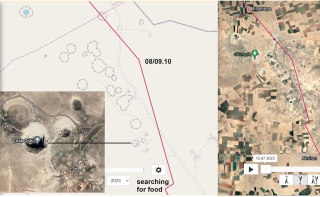
there is interesting area with sinkholes
Giant sinkholes dot the landscape in Turkey's Karapinar - in pictures
Farmers extracting groundwater have caused the water table to drop by two metres
- you can read the reason and see much pictures with description
https://www.thenationalnews.com/mena/gi ... -1.1237751
more morning - done sorry for more than 3 pics
after zooming the map, you can also read the names of these "holes", e.g. Karain Obrugu/Obrugu = Cave
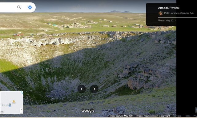
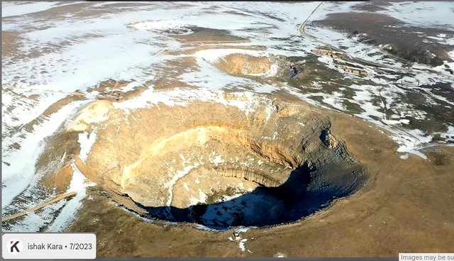
information of these near the village Çıralı - the name the biggest is Çıralı Obrugu:
https://www.obruklular.org.tr/obruk.asp?SiD=2:
Çıralı Sinkhole is located in the Akviran Plateau in the northwest of Yenikent Sub-district of Konya's Karapınar district.
The edges of this lake within the limestone layer, which is approximately 250 m in diameter, are shaped like a steep bowl with a height of 80 m. The depth of the sinkhole is 125 meters. The depth of the lake in the sinkhole is 35 m. The area where the sinkhole is located is 1077 m high in the north, 1050 m high in the south, and the lake bottom is 953 m high. There are small caves and cavities on steep cliffs around the lake. Like other sinkholes, it is a lake formed in karst terrain, in plains containing limestones and carbonates that can be easily dissolved by water, when deep pits formed by the melting of layers are filled with groundwater or by the collapse of the ceilings of underground caves.
There is an old settlement area from the Roman Period around the lake in the sinkhole. There are settlement ruins and rock tombs from the Roman Period here.
photos on google maps show that the lake is gradually drying up and according to this video it is unfortunately already completely dry

VIDEO (very short - 2 min)
https://youtu.be/IQU7DT05IX0?feature=shared uploaded by "KONYA HİKAYELERİ" on 25 Dec 2022
VIDEO (long - 30 min, but we see the wider area too)
https://youtu.be/5qdnPW0hiyE?feature=shared uploaded by Ahmet Soyak on 20 Jul 2020
info + photos + video 17.06.2015:
info -
https://www.aa.com.tr/tr/kultur-sanat/c ... iyor/35580
photos - htmlhttps://
www.konhaber.com/fotogaleri-Cirali_Obru ... r-962.html
video -
https://www.aa.com.tr/tr/vg/video-galer ... bekliyor/0
(or here the same
https://www.facebook.com/trtturk/videos ... 550951426/)
view on the wider area
 https://maps.app.goo.gl/QEt4J7vVdbRNbScR6
maybe the newest photo
 https://earth.google.com/web/@37.931662 ... bMO8GAIgAQ