SHISHMANTSI area
source https://mapio.net/a/97949173/ - photos::
Krum around Belozem (photos,videos, information)
-
- Site Admin
- Posts: 15179
- Joined: 29 Sep 2021, 09:38
-
- Site Admin
- Posts: 15179
- Joined: 29 Sep 2021, 09:38
Re: Krum around Belozem (photos,videos, information)
VIDEOs BELOZEM AREA
uploaded 11. 6. 2017 by flyspot
uploaded on 30. 4. 2016 by Stoian Gruev
in this video we see the railway area
Train cab ride Bulgaria: Sofia - Burgas [via Plovdiv] (Driver's view)
3:08:54 Маноле (Manole), 3:15:35 Белозем (Belozem)
uploaded on 9. 1. 2017 by joro14
added 25.10.2024
Belozem (Белозем, Кисимови дупки)
uploaded Jul 10, 2024 by Georgnikolov
added on 06.11.2024
# Белозем
uploaded on 01.05.2019 by Stoian Gruev
-
- Site Admin
- Posts: 15179
- Joined: 29 Sep 2021, 09:38
Re: Krum around Belozem (photos,videos, information)
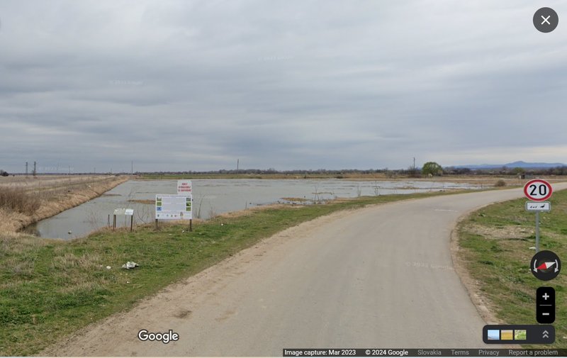
the "wet triangle" area - oblasť "mokrého trojuholníka"
WET MEADOWS RESTORED BY GREEN BALKANS NGO
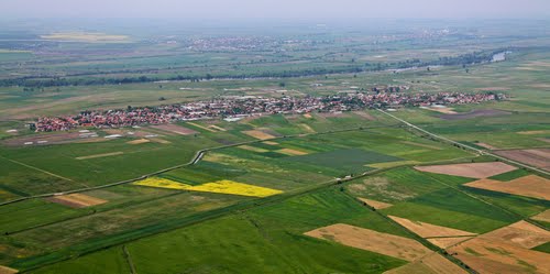
These farmlands largely resemble natural habitats. Like rice fields, wet meadows are flooded over a period of the year. This provides a significant nutritional resource that is crucial for biodiversity. In the vicinity of Belozem village, wet meadows are common, and the high groundwater level causes salination and the soil becomes white or lighter in color. This characteristic also determines the name of the village – Belozem (meaning “white ground”).
MOKRÉ LÚKY OBNOVENÉ MVO ZELENÝ BALKÁN
Tieto poľnohospodárske pôdy sa do značnej miery podobajú prirodzeným biotopom. Podobne ako ryžové polia, aj vlhké lúky sú počas roka zaplavované. Poskytujú tak významný zdroj výživy, ktorý má zásadný význam pre biodiverzitu. V okolí obce Belozem sú mokré lúky bežné a vysoká hladina podzemnej vody spôsobuje zasolenie a pôda získava bielu alebo svetlejšiu farbu. Táto vlastnosť určuje aj názov obce - Belozem (čo znamená "biela zem").
(source: page 1 - https://greenbalkans.org/files/modules_ ... -38731.pdf - there are also photos)
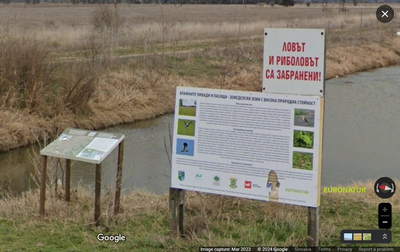
STREET VIEW https://maps.app.goo.gl/vGMz4wt8XCzWjgbf6 Google Street View Mar 2023
EDIT:
the inscription means:
(red) Fishing and hunting are prohibited
(the big table) Wet meadows and pastures, lands of high natural value
thank you Pelageya Gavrilova for translation
https://www.facebook.com/groups/blackst ... 4140360129
continuation: 09.10.2024
Wetland in the vicinity of Belozem - the Bulgarian village of the White stork (also black storks we can see in this video)
uploaded on 16.05.2024 by Зелени Балкани Green Balkans ( = is a leading organization in the field of conservation of rare species and habitats in Bulgaria - youtube description)
-
- Site Admin
- Posts: 15179
- Joined: 29 Sep 2021, 09:38
Re: Krum around Belozem (photos,videos, information)
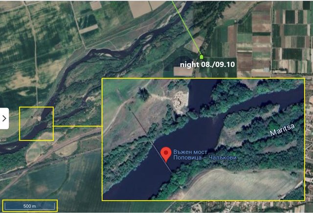
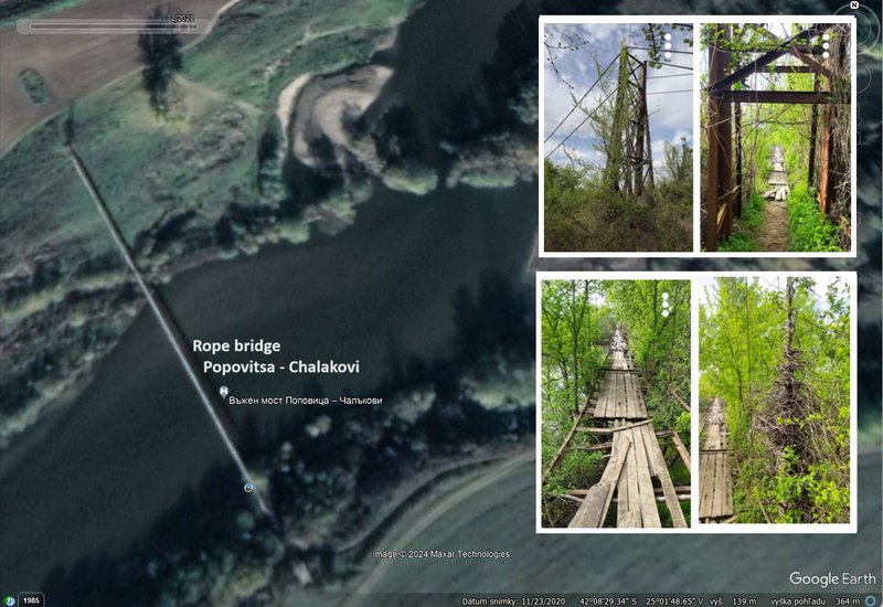
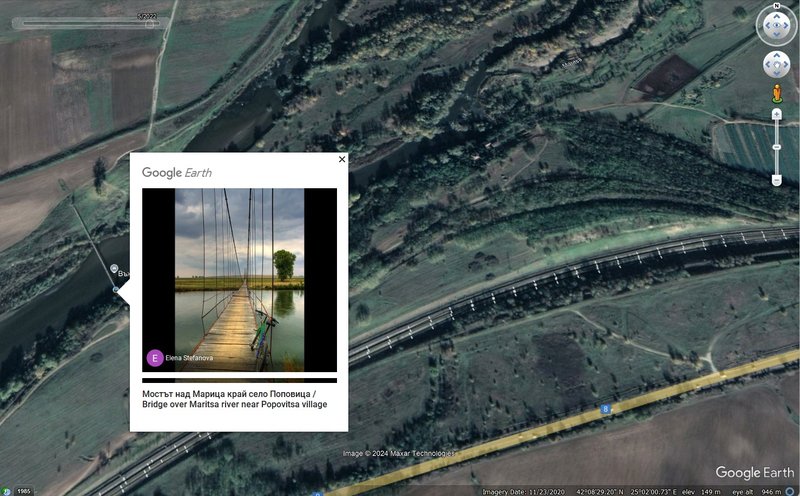
Rope Bridge Chalakovi - Popovitsa
https://bg.wikipedia.org/wiki/%D0%9C%D0 ... 0%B2%D0%B8 (photo too)
02.09.2024 https://is.gd/OuH6Qr (info and photo)
the author of these photos - Филип Койчев - wrote:
- An incredibly beautiful place. I hope they decide to put this rope bridge back into use again.
- Neskutočne krásne miesto. Dúfam, že sa rozhodnú dať tento lanový most opäť do užívania.
more PHOTOS: https://is.gd/M5L1Eg; two of the:
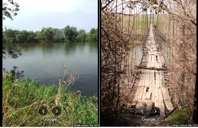
Въжен мост Поповица – Чалъкови - Rope Bridge Popovitsa - Chalakovi
PHOTO 1 https://maps.app.goo.gl/TUY11At15ipyXNaX6 Мирослав Папалаков Photo - Sep 2023
PHOTO 2 https://maps.app.goo.gl/UHs3Pgr1g7yQVuzcA Александър Александров Photo - Mar 2022
Изоставени конструкции: Въжен мост над река "Марица", с. Чалъкови - с. Поповица.
- Abandoned structures: Rope bridge over the "Maritsa" river, Chalakovi village - Popovitsa village.
- Opustené stavby: Lanový most cez rieku "Maritsa", obec Chalakovi - obec Popovitsa.
uploaded on 20 Mar 2023 by ARD
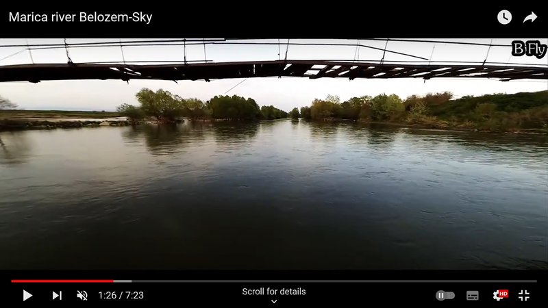
the (drone) view - on the pic is this bridge https://youtu.be/_IkesDcfIEo uploaded on 6 Apr 2016 by Stoian Gruev (drone view)
descritpion and very, very nice PHOTOS - also view on the wider area https://is.gd/WenY1d
(images are protected)
one of them: https://nikolay100.com/travel/wp-conten ... d.jpg.webp
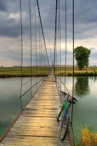
the rope bridge in good times
big PHOTO https://lh5.googleusercontent.com/p/AF1 ... 0-h1440-pd by Elena Stefanova
-
- Site Admin
- Posts: 15179
- Joined: 29 Sep 2021, 09:38
Re: Krum around Belozem (photos,videos, information)
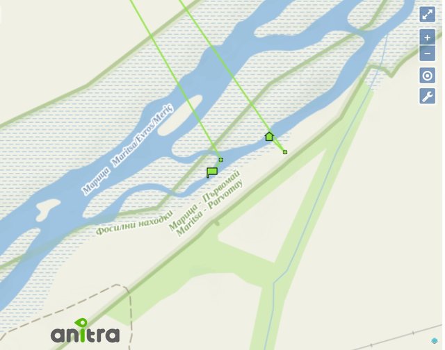
Fossil Finds (фосилни находки - fosilni nahodki) - Natural Monument/Natural Landmark:
Aims of the declaration: Protection of fossils of proboscis mammals
https://www.eea.government.bg/zpo/en/ar ... areaID=276 or https://plovdiv.riosv.com/main.php?modu ... &inf_id=15#
- first mentioned in our forum here https://www.ciconianigra.sk/viewtopic.p ... 919#p26919 on February 27 (2024)
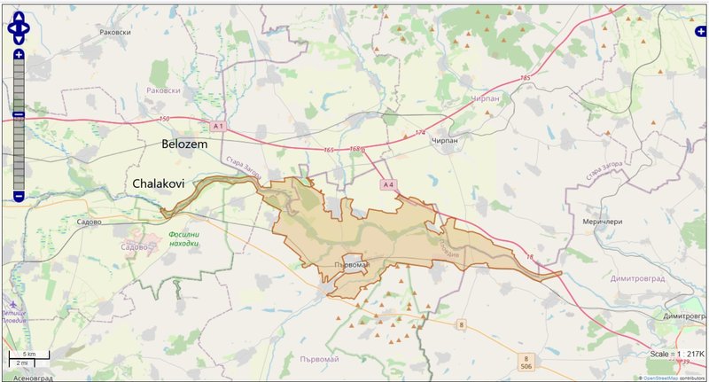
Maritsa-Parvomay - IBA (Important Bird Area) https://datazone.birdlife.org/site/fact ... lgaria/map (or https://www.birdsinbulgaria.org/ovm.php ... =114&id=81) and
Natura 2000 site (code BG0002081) - detailed info https://natura2000.egov.bg/EsriBg.Natur ... 002081.pdf
short VIDEO
Средното течение на Марица и нейните притоци: Натура 2000 - The middle course of the Maritsa and its tributaries: Natura 2000
uploaded on 30 Jan 2008 by BALKANI Wildlife Society